BELQUA 2025 Annual Scientific Workshop

NORSEAT Researchers Present Key Findings on Holocene Coastal Evolution and Sea-Level Change in Belgium

Date: Tuesday, 4 March 2025
Location: Belgium

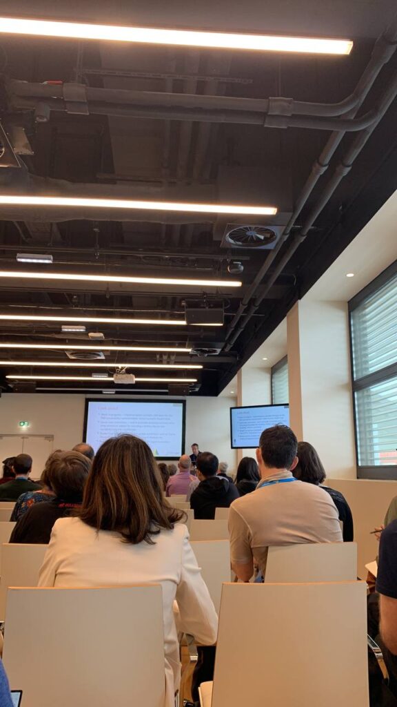
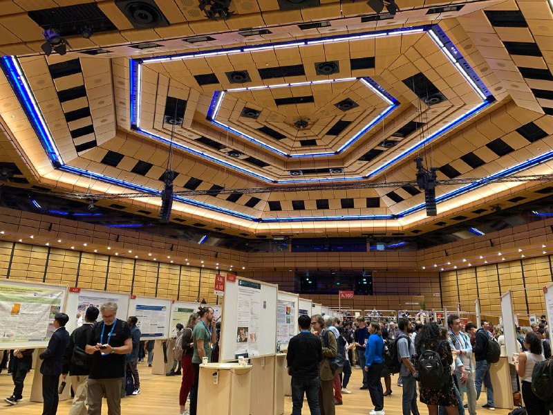
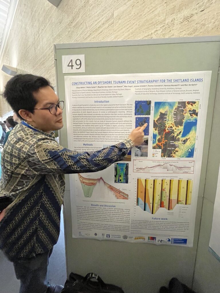
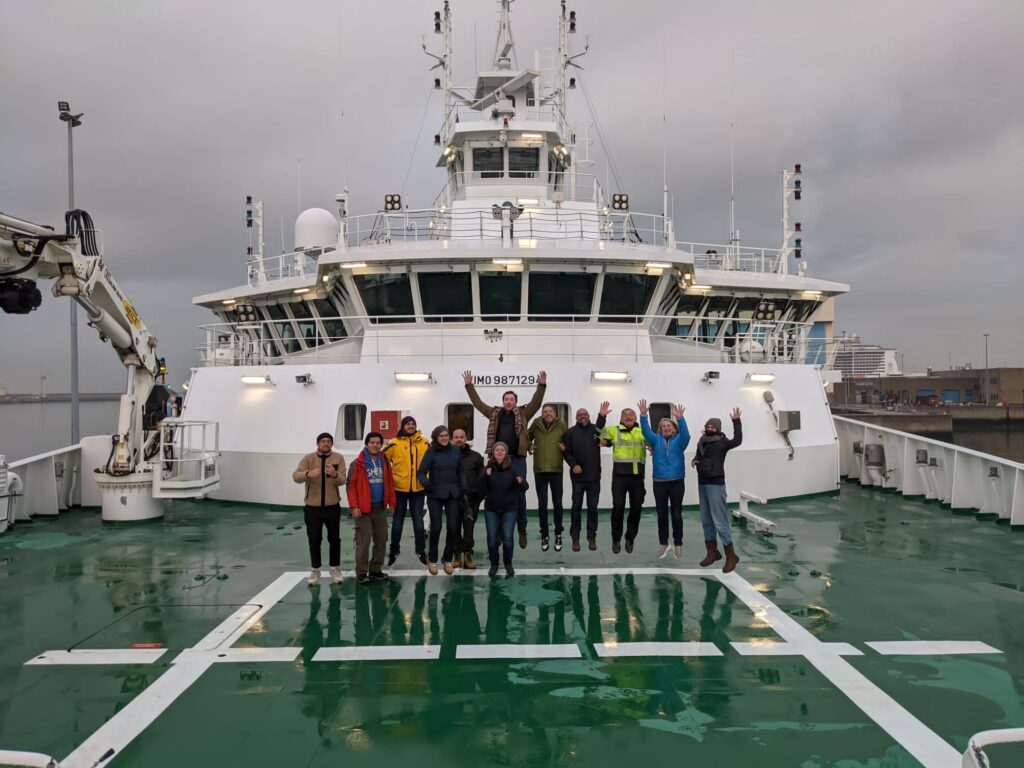
Two of NORSEAT’s researchers, Rikza and Juliane, recently presented groundbreaking developments from the project at a gathering of Quaternary geology experts in Belgium. Their presentations offered deep insights into the Holocene history of the Shetland Islands and the methodologies being developed to better understand coastal hazards and sea-level changes through time.

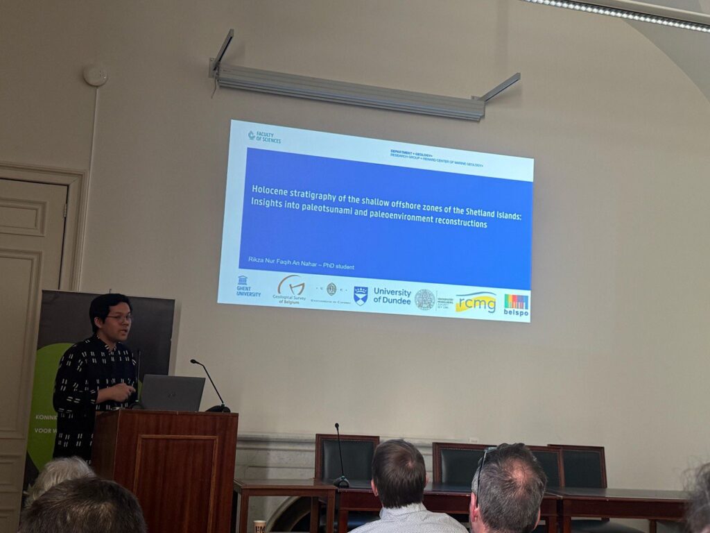
🔹 Uncovering Ancient Tsunami Layers: Rikza’s Presentation

Before the lunch break, Rikza introduced his research on:

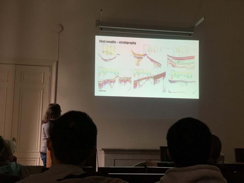
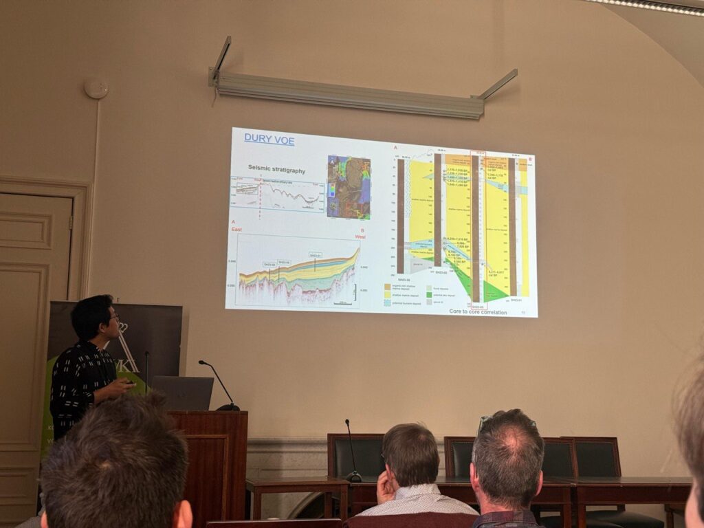
“Holocene Stratigraphy of the Shallow Offshore Zones of the Shetland Islands: Insights into Palaeotsunami and Paleoenvironment Reconstructions”

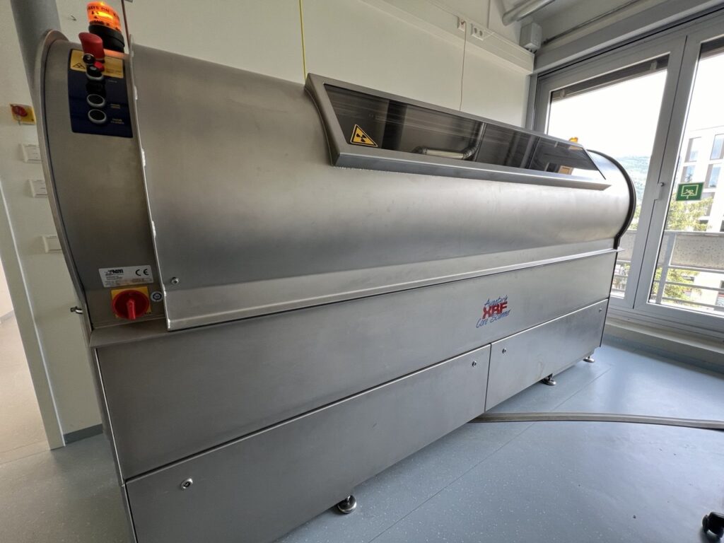
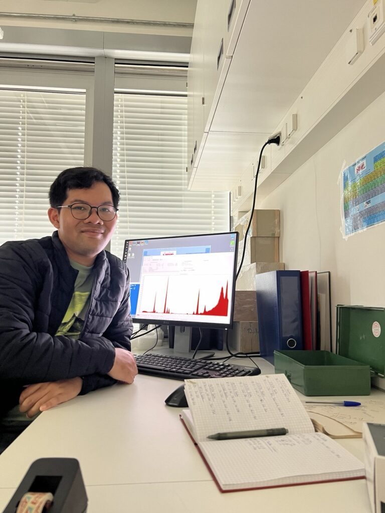
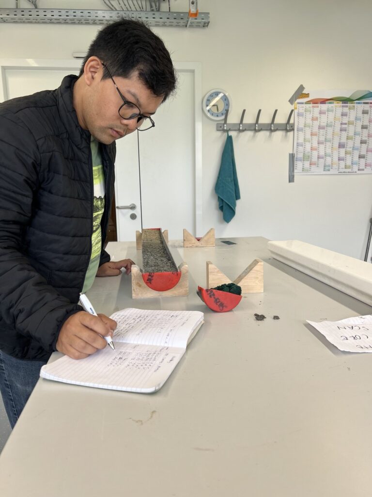
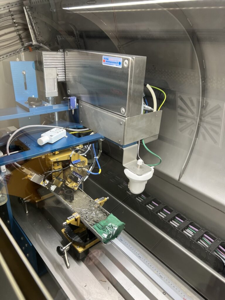
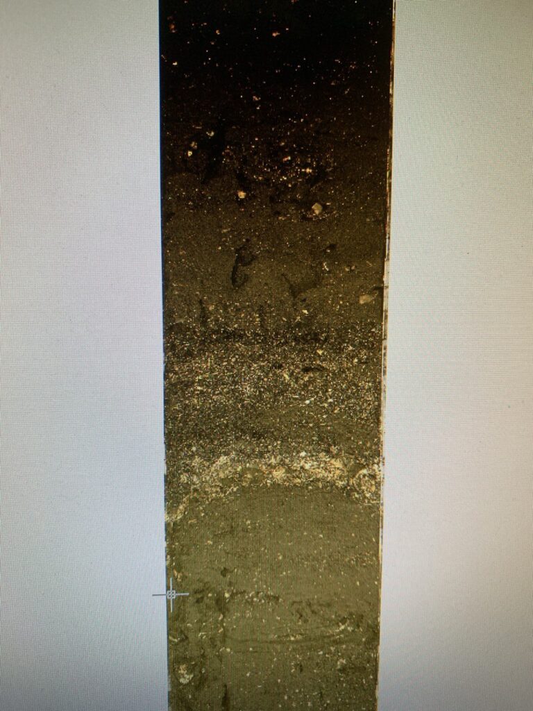
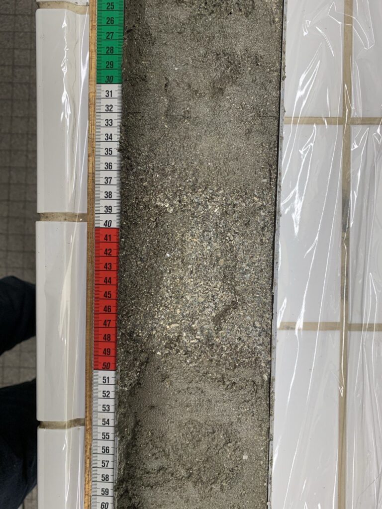
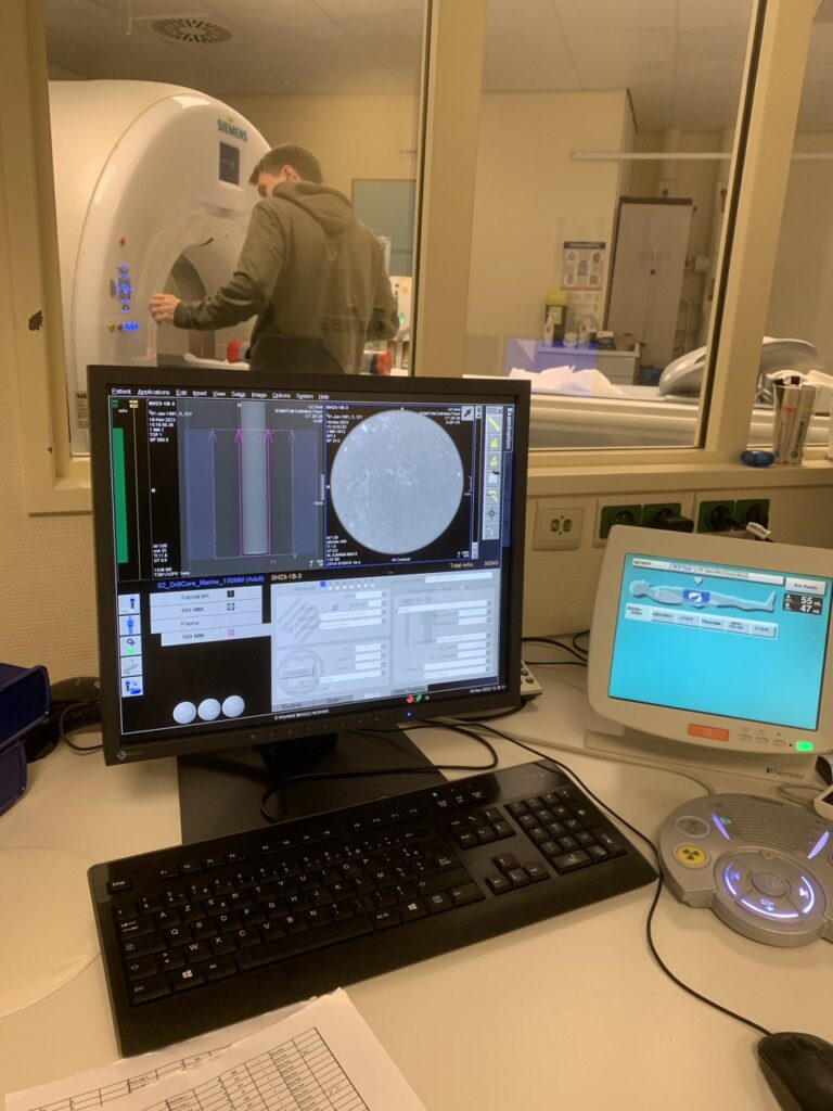
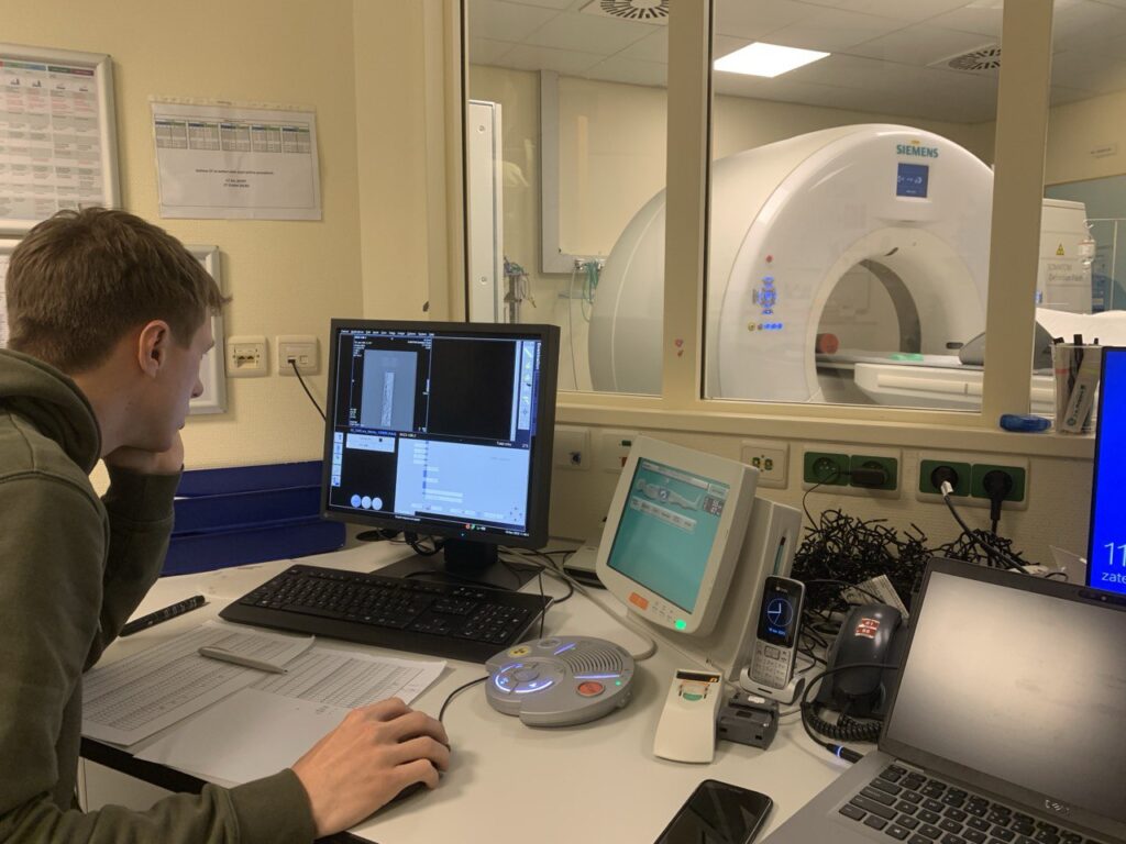
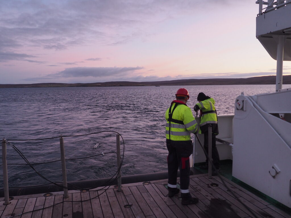
His talk focused on the evolution of the coastal environment in the shallow offshore areas around the Shetland Islands. Utilizing seismic facies identification, he reconstructed past environmental conditions and their transformation over time.

Complementary sedimentological data, including grain size analysis and XRF-based geochemical profiling, revealed the presence of distinct sedimentary layers. These layers are interpreted as tsunami deposits, associated with the Storegga event and other Late Holocene palaeotsunamis. The findings suggest episodic interruptions in otherwise tranquil shallow marine sedimentation, offering vital clues into the prehistoric dynamics of the region.

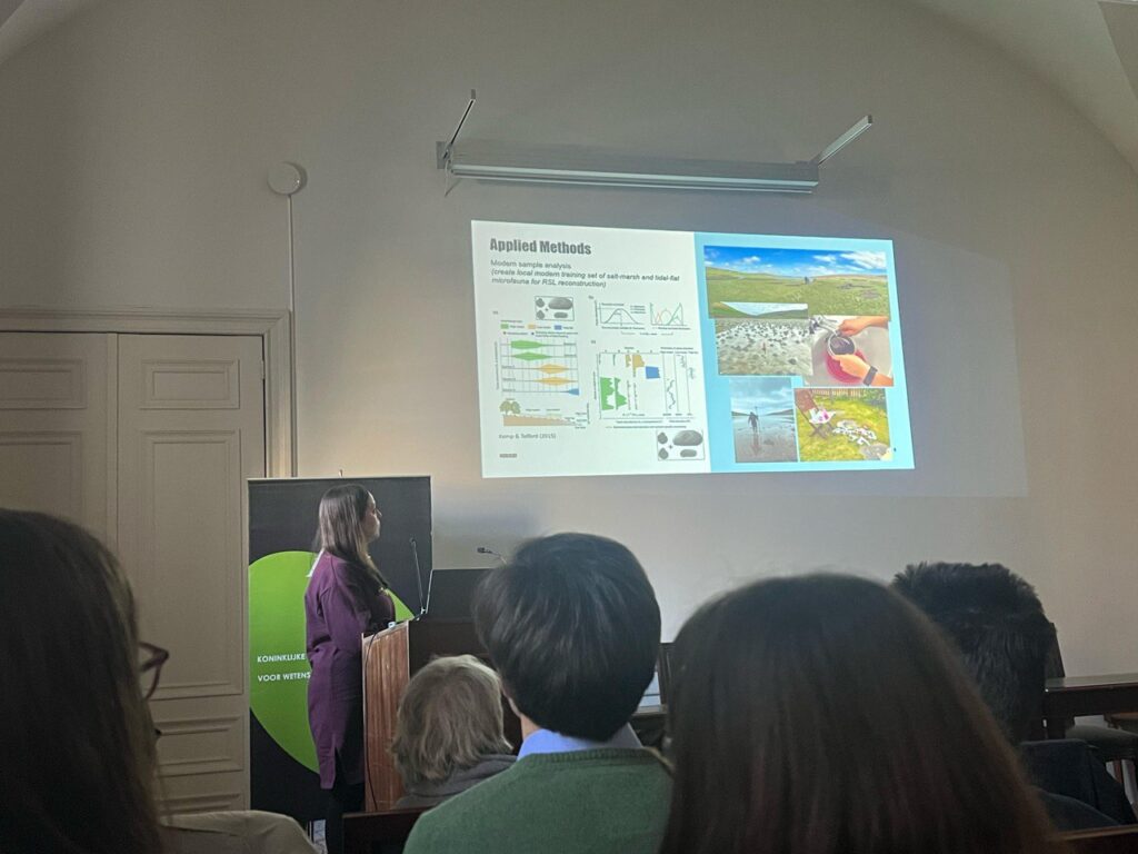
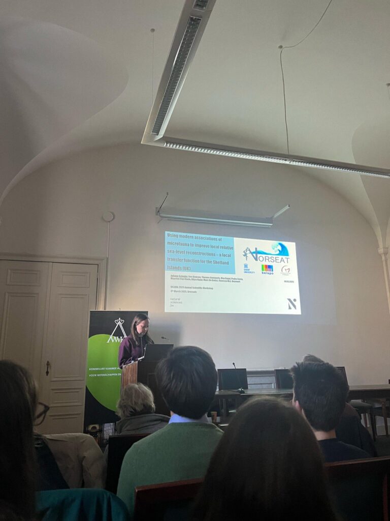
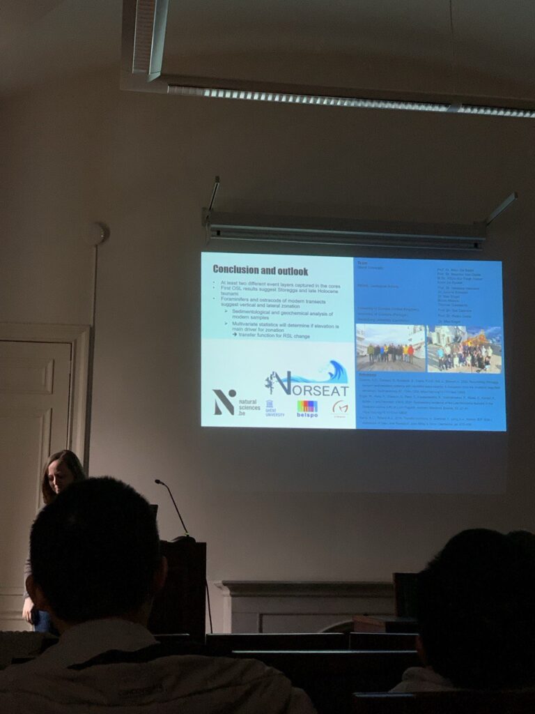
🔹 Reconstructing Sea Levels with Microfauna: Juliane’s Presentation

In the afternoon, Juliane presented her research titled:

“Using Modern Associations of Microfauna to Improve Local Relative Sea-Level Reconstructions”

Juliane emphasized the significance of high-resolution relative sea-level (RSL) reconstructions for improving coastal hazard assessments and the planning of future protection strategies. Her work is particularly relevant to NORSEAT’s goal of understanding tsunami risks in the Shetland Islands.

She introduced a preliminary transfer function model developed from microfaunal data, which showed a strong correlation (0.94) between measured and reconstructed elevations. However, the initial model had a vertical error of approximately 40% of the mean tidal range. Juliane noted that incorporating the full dataset is expected to refine the model and improve its predictive power.

The final version of this model will be applied to Holocene shallow-marine sediment cores collected offshore Shetland. The improved RSL reconstructions will provide more accurate estimates of tsunami run-up heights—not only for the Storegga event but also for two younger palaeotsunami events identified in the area.

🌍 Looking Ahead

These presentations mark an important milestone in the NORSEAT Project, pushing forward our understanding of Holocene sea-level fluctuations and extreme events in the North Sea region. The research contributes valuable data and methodologies to the broader scientific community, with real-world implications for coastal hazard assessment and climate resilience.

Stay tuned as the NORSEAT team continues to explore the past to better prepare for the future.

XRF Core Scanning Activities at Heidelberg University

As part of our ongoing research within the NORSEAT Project, our team recently carried out X-ray fluorescence (XRF) core scanning at the Institute of Earth Sciences, Heidelberg University. This lab work is an essential step in understanding the geochemical composition of sediment cores, especially when reconstructing past environmental and tsunami events in the North Sea region.

State-of-the-Art Equipment

The scanning was conducted using the AVAATECH (GEN-4) XRF core scanner, equipped with the high-performance OXFORD ‘Neptune 5200’ series detector. This setup allows for non-destructive, high-resolution elemental analysis of sediment cores—critical for identifying key changes in environmental conditions over time.

Lab Activity Gallery

Below are some photos from our work sessions in Heidelberg, showcasing the lab setup, the scanning process, and our researchers in action:

Why XRF Matters

XRF core scanning plays a vital role in:

  • Identifying geochemical signatures associated with tsunamis or environmental shifts,
  • Supporting stratigraphic interpretation alongside seismic and sedimentological data,
  • And enabling multi-proxy analysis without damaging precious sediment cores.

This data, in combination with other methods such as grain size analysis and microfossil identification, enriches our understanding of Holocene palaeoenvironments and sea-level change in the Shetland Islands and beyond.

Stay connected for more field and lab updates as we continue to unravel the complex history of the North Sea basin!

NORSEAT team in EGU 2024, Vienna

From April 14 to 19, our Postdoctoral Researcher and PhD Researcher presented the NORSEAT poster at the European Geoscience Union (EGU) General Assembly 2024 in Vienna.
Juliane Scheder presented her poster on a combined modern training set of foraminifers and ostracods from three different voes on Shetland’s largest island, Mainland. This training set serves as the foundation for a relative sea-level (RSL) transfer function, which connects the elevation of surface samples to modern microfaunal associations, providing a valuable tool for high-resolution RSL reconstructions from the Holocene record around the Shetland Islands.
Rikza Nahar presented his poster titled “Constructing an Offshore Tsunami Event Stratigraphy for the Shetland Islands.” He discussed the construction of a past tsunami deposit stratigraphy as evidenced by seismic data and sediment core samples from three embayment areas around the Shetland Islands. The presentation included plans for detailed analysis involving laboratory work and data analysis to further investigate these tsunami deposits.
According to the EGU24 website, the General Assembly had 20,979 registered attendees, with 18,388 coming to Vienna from 116 countries and 2,591 joining online from 109 countries. The event was a major success, featuring 18,896 presentations across 1,044 sessions. Notably, 57% of the abstracts were from Early Career Scientists (ECS).

NORSEAT on VLIZ Science Marine Science Day 2024

On Wednesday, March 6, 2024, our esteemed PhD researcher, Rikza Nur Faqih An Nahar, showcased the Norseat Project Poster at the VLIZ Marine Science Day 2024, hosted at De Grote Post in Ostend, Belgium. The focus of Rikza’s presentation was a poster titled “Constructing an offshore tsunami event stratigraphy for the Shetland Islands.” The primary objective of the project is to meticulously identify and trace tsunami deposits offshore, comprehensively study their characteristics and extent, and ascertain whether the offshore record contains evidence of events beyond those already documented in the onshore record (specifically, the Storrega tsunami, and events approximately 5500 years and 1500 years Before Present). This pursuit aims to provide novel insights into recurrence intervals.

Already, two surveys have been conducted with the research vessel Belgica. These surveys involved the collection of high-resolution geophysical data, including multibeam bathymetry and backscatter, geoacoustic and seismic data, alongside the retrieval of several vibrocores. These activities were concentrated in three embayment areas around the Shetland Islands.

For a more detailed look at the preliminary results, we encourage you to explore the conferences and publications column on this website. (click here)

BELQUA 2024 Annual Scientific Workshop

On Tuesday, March 5, 2024, our team member, Dr. Juliane Scheder, delivered a compelling presentation at the BELQUA 2024 Annual Scientific Workshop in the Rubens Room of the Royal Academies for Science and the Arts of Belgium. The project, titled “Reconstructing Holocene relative sea-level changes and extreme events in the Shetland Islands (United Kingdom),” focused on addressing the limitations of existing Raising Sea Level (RSL) data, which covers two specific time frames (ca. 7900–5990 cal BP and around 3500 cal BP) with a notable vertical error (±8 m during the well-constrained Storegga tsunami period across the islands). Dr. Scheder outlined the methodology employed, emphasizing the utilization of a combined modern training set (foraminifers and ostracods) sourced from three salt marshes and adjacent tidal flats along the coast of Shetland’s largest island, Mainland. This approach aims to establish a robust RSL transfer function, correlating the elevation of surface samples to mean sea level based on modern microfaunal associations. The presentation shed light on the project’s preliminary results, offering a promising step forward in understanding Holocene sea-level changes and extreme events in the Shetland Islands.

Multisensor Core Logging (MSCL): Exploring Physical Properties of Sediment Cores

As part of the NORSEAT Project’s comprehensive approach to sediment analysis, our team conducted Multisensor Core Logging (MSCL) to capture key physical properties of our sediment cores. This method provides high-resolution insights into the internal variability of sediments, contributing to a deeper understanding of depositional environments and event layers such as palaeotsunami deposits.

What is MSCL?

The Multisensor Core Logger (MSCL) is an automated, non-destructive system that scans whole sediment cores to collect multiple data types simultaneously. During this session, we measured:

  • Magnetic susceptibility – to detect variations in mineral content,
  • Bulk density – to assess compaction and grain arrangement,
  • And performed high-resolution photoscanning – for visual core documentation and sedimentary structure identification.

Capturing Data in Detail

The MSCL system provided continuous profiles along the core length, allowing us to:

  • Identify event layers or abrupt environmental changes,
  • Correlate physical properties with geochemical and microfossil data,
  • And generate visual core logs that are essential for both interpretation and publication.

The high-resolution photoscan is especially valuable for documenting subtle sedimentary features such as laminations, grading, and color variations.

Why It Matters

Physical property measurements are a foundational dataset in stratigraphic studies. Within the NORSEAT Project, MSCL data helps us:

  • Cross-validate sedimentological and geochemical analyses,
  • Detect potential tsunami or storm deposits,
  • And build a multi-proxy framework for Holocene palaeoenvironmental reconstructions in the Shetland offshore zone.

This method is another key step in our mission to uncover the history of coastal change and natural hazards in the North Sea. Stay tuned as we combine this dataset with seismic, geochemical, and biological indicators to build a fuller picture of the past.

Medical CT Scanning for Sediment Core Analysis at Ghent University Hospital

As part of our interdisciplinary approach in the NORSEAT Project, our team recently collaborated with Ghent University Hospital to conduct medical CT scanning on sediment cores. This advanced imaging method allows us to investigate the internal structure, grain distribution, and sediment composition in unprecedented detail—without disturbing the cores themselves.

Why Use a Medical CT Scanner?

Typically used for human diagnostics, medical CT (Computed Tomography) scanning offers ultra-high-resolution, three-dimensional imaging. Applied to sediment cores, this technology helps us:

  • Visualize the internal grain structure and layering,
  • Detect variations in density and grain size distribution,
  • And build 3D models to guide targeted sampling and stratigraphic interpretation.

This level of precision is invaluable for detecting subtle features like tsunami-related deposits or sedimentary disturbances.

Imaging in Action

The CT scans were conducted on full-length sediment cores still encased in their plastic liners, ensuring preservation of core integrity. The results produced high-resolution 3D models and cross-sectional images, revealing intricate details of grain composition and internal layering that are often missed by traditional imaging techniques.

Bridging Earth Science and Medical Technology

This collaboration highlights the power of cross-disciplinary innovation, combining geological expertise with cutting-edge medical imaging. The results not only improve our understanding of sediment deposition dynamics in the Shetland offshore zone, but also pave the way for more accurate reconstructions of palaeoenvironmental events, including tsunamis.

Stay tuned for more behind-the-scenes looks into our research methods as the NORSEAT Project continues to push boundaries in Earth science.

SECOND CAMPAIGN – NORSEAT 2023

From September 1st to September 12th, 2023, our team conducted the second survey aboard RV Belgica. The primary goal of this survey was to obtain sediment core samples from three distinct research areas: Dury Voe, Basta Voe, and Sullom Voe. In addition to collecting core sediment samples, we also conducted geophysical data acquisition using TOPAS and MULTIBEAM systems, significantly enhancing our swath grid and coverage area compared to the previous survey. The scientific team for this second NORSEAT campaign comprised experts from various institutions, including Ghent University, Geological Survey of Belgium, University of Coimbra, University of Heidelberg, University of Koln, Flanders Marine Institute (VLIZ), and Sea Network POGO Ocean.

FIRST CAMPAIGN – NORSEAT 2022

The first official research cruise of the NORSEAT Project started from Wednesday 30 November 2022 and ended at Friday 9 December 2022 aboard the new BELGICA II. The Shipboard scientifiv team was consisting of 12 scientists from Ghent University (RCMG, UGent), Royal Belgian Institute of Natural Sciences, Geological Survey of Belgium (GSB), University of Dundee (UK), UCoimbra (Portugal) and University of Heidelberg (Germany).

Although we departed with a delay of ~36 ours from Zeebrugge and had to cancel two of the sites for data acquisition, we were able to gather high-quality data in three of the original study areas, with some added extra survey lines in both of them. The campaign was in general a success, in particular when considering the comparably friendly weather and wave conditions in December in the Shetland Islands. We wish to thank the crew and the captain Gaetan Motmans for their collaboration and assistance during the survey, as well as the accommodation onboard RV Belgica II.

Norseat website online!

Today, the Norseat site has been launched. Our goal with this new website is to provide information about the Noreat project and introduce you to the project participants and parties.

New announcements will be communicated via the ‘Blog’ part of the website.